POLITICS
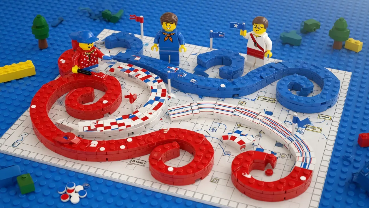
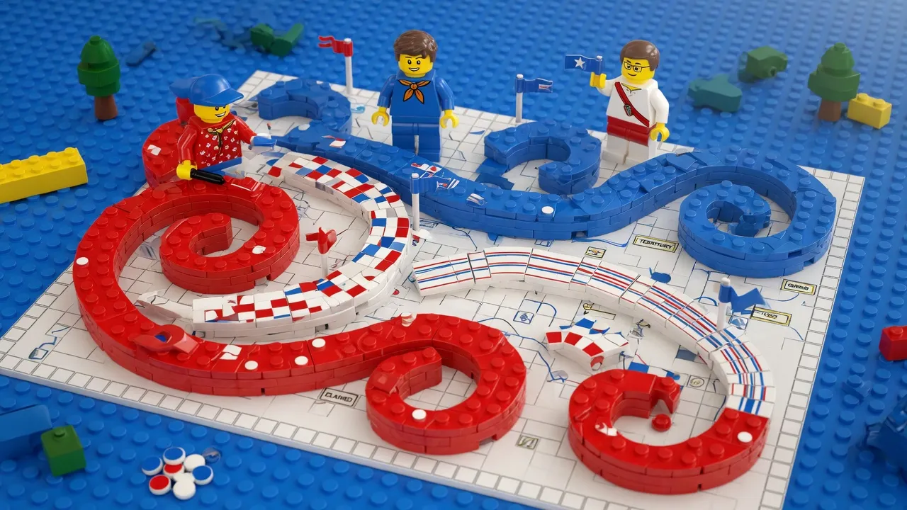
Political figure releases map with territorial imagery spanning North America
A prominent political figure shared a map image featuring the American flag overlaid across portions of Canada, Greenland, and Mexico, generating discussion among political analysts and international observers. The post prompted commentary on territorial symbolism and geopolitical messaging in contemporary political discourse.
Read the full story at the source →